 vesseltracker.com
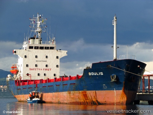
Vessel KIRK B IMO: 9379480, MMSI: 352005610 General Cargo
UTC, 9.66658, -79.97066, course: 334, speed: 7.2
UTC, 9.85276, -79.99858, course: 352, speed: 6.5
2026-03-22 23:31:26 UTC, 10.02547, -80.01938, course: 350, speed: 6.3
Live Vessel KIRK B Analytics (details, animations, etc.)
Live AIS position: UTC. 34 nm NW of Cacique), updated 2026-03-22 23:31:26 UTC.Find the position of the vessel KIRK B on the map. The latter are known coordinates and path.
marine traffic ship tracker show on live map
The current position of vessel KIRK B is 10.02547 lat / -80.01938 lng. Updated: 2026-03-22 23:31:26 UTCCurrently sailing under the flag of Panama
Details:
Last coordinates of the vessel:
UTC, 9.46844, -79.91244, course: 350, speed: 6UTC, 9.66658, -79.97066, course: 334, speed: 7.2
UTC, 9.85276, -79.99858, course: 352, speed: 6.5
2026-03-22 23:31:26 UTC, 10.02547, -80.01938, course: 350, speed: 6.3